There are two trail heads you can start this hike from. I chose to start the trail at the Jordan Road Trailhead and my description will follow from that starting point. Directions to this trailhead are at the end of this post, along with directions to the alternative starting point, Soldier Pass Trailhead. ( You can also click on the trailhead names to go to a google map of the location). Just be aware parking is limited, however there is more parking spots at the Jordan Road Trailhead than at the Soldier Pass Trailhead. You will need to purchase a Redrock Pass to park at either parking lot. Conveniently there is a Redrock Pass vending machine at the Jordan Road Trailhead which takes credit cards. Click here for information on obtaining a Redrock Pass.
 From the Jordan Road Trailhead you will start out on the Brin's Mesa Trail and hike this trail counter clockwise. This trail begins to the right and behind the Trailhead Information Sign/Map. A few hundred feet into your hike the Cibola Pass Trail will head to the left. Stay on the main Brin's Mesa Trail. About 1 mile in you will begin a steep climb to the top of Brin's Mesa. It's nothing too steep or long, but in my case it did get my heart pumping. At 1.4 miles you will come to the top of your climb. You have reached Brin's Mesa and will notice a lot of dead trees. A fire in 2006 swept through this area.
  |
| View across to the arches |

 |
| Inside the Arch |
 |
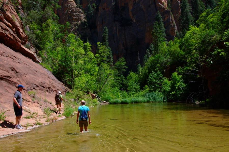
| Seven Sacred Pools |
 |
| Devil's Kitchen |
Once you pass Devils Kitchen you will come to another junction. You want to take the Jordan Trail which heads to the left across another open sandstone area.
 |
| Jordan Trail |
This is a great loop hike that packs a lot of variety in its short 6 miles.
Length: 6 miles loop
Difficulty: Moderate
Traffic: Heavy use
Fee: $5.00
Hike Time: 3-4 hours
Season: Fall through Spring
Directions:
To Jordan Trailhead:
From the Sedona Y (Junction 89A and 179) go north east, towards Uptown Sedona, for 0.3 miles. Turn left into Jordan Rd and follow Jordan Rd for 0.8 miles to a T intersection with Park Ridge Drive. Turn left on Park Ridge Drive to the end of the pavement and continue on a fairly bumpy dirt road (but passable for passenger cars) for about 0.7 miles to parking and trailhead.
To Soldiers Pass Trailhead:
An alternate trailhead about 1.2 hiking miles away from the Jordan Road Trailhead. From the Sedona Y (Junction 89A and 179) go west towards West Sedona and Cottonwood for 1.2 miles to the first light and turn right into Soldiers Pass Road. Follow the winding Soldiers Pass Road north for 1.5 miles to Rim Shadows Drive. There is a small brown trail sign there. Turn right and go on for less than 0.2 miles. The names of the roads are screwy around here, but there are little brown signs steering you to the parking area. The parking is on the left, up a gated drive (only open from 8am to 6pm!) with a limited number of parking spots.
From PHX (I-10 & AZ-51) 123 mi, 2 hours 16 mins
From TUC (Jct 1-10 & Grant) 228 mi, 3 hours 56 mins
From FLG (Jct I-17 & I-40) 29.3 mi, 41 min